Lesson Nineteen: Economic and Political Change between the Wars, 1919-1939
Grand Coulee Dam Site
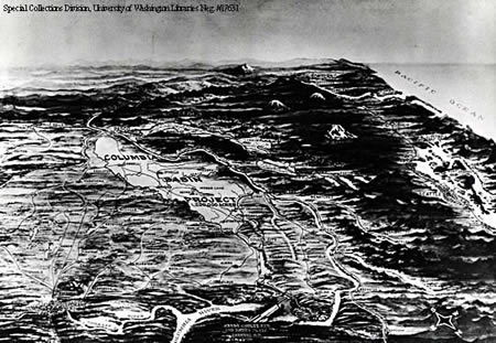
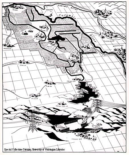
These maps illustrate the two assumptions underlying the Columbia Basin Project. The first illustrates what local boosters viewed as the benefit to the region within a seven-mile radius surrounding the Grand Coulee Dam.
The second bird's eye view encompasses a larger region from Spokane to the Pacific Ocean, and from Everett to Portland. (Special Collections Division, University of Washington Libraries. Immediate vicinity map courtesy of the Bureau of Reclamation.)